
Statesboro Neighbor Record Sources
A block lookup answers several small questions. The parcel map shows which pieces of land are close. Tax cards name owners. Plats explain lot and block design. Voter products can place some registered voters at parsed residence addresses when obtained under Georgia rules. Historical directories show a dated street scene, while public civic contacts identify groups rather than households.
| Source | What it shows about a block | Access |
|---|---|---|
| Bulloch qPublic GIS | Parcel shapes, IDs, roads, physical adjacency | Free click map |
| Assessor cards | Owner, situs, and tax-mail destination | Free public search |
| Recorded plats | Lots, blocks, and subdivision geometry | GSCCCA or clerk |
| Georgia voter file | Lawfully released voter fields by address | Paid list product; protected records omitted |
| Polk street guide | Historic occupants by numbered address | 1959, 1962, 1964 online |
| Civic groups | Public officers and contact points | Planning records and group pages |
Choose the source that fits the claim. An owner mailing address may differ from the property address. A voter record does not name every adult. A public officer is not proof of neighborhood membership. These limits are central to an accurate Statesboro neighbors search.
Map Statesboro Neighbors by Parcel
The local method is visual. Search the subject in Bulloch qPublic, open “Map It,” and zoom until parcel outlines and street names appear. Then click touching or nearby polygons and follow each property link. No verified public buffer export was found, so define the scope before collecting names.
- Locate the known address and confirm its parcel ID and situs address.
- Choose a rule: touching parcels, the same side between two cross streets, or a stated radius.
- Click each polygon in that scope and record its parcel ID before opening the property card.
- Separate owner name, owner mailing address, and situs address in the notes.
- Mark the retrieval date and flag corner lots, road rights-of-way, drainage tracts, and multi-parcel owners.
County GIS maintains more than 20 layers covering parcels, roads, zoning and land use, political lines, utilities, and other county geography. The map is not a survey. It does, however, prevent the casual mistake of calling a house “next door” when a narrow tract or second parcel sits between the lots. For a whole named road, use the Statesboro street directory workflow instead.
Read Statesboro Property Cards Carefully
The assessor search accepts owner, location address, and parcel number. A card may include physical address, mailing address, acreage, district, sales rows, values, and a map link. It can support a statement about who owns the parcel of record. It cannot establish every person who lives there, a renter’s name, or a family relationship.
Homestead coding may support owner occupancy, but it is not proof of all occupants. Likewise, a mailing address elsewhere suggests that tax correspondence goes elsewhere, not why. A multiunit property may show only the titled owner. Utility customers, delivery records, and private member lists are not public merely because the street is known.
- Parcel ID
- The county key assigned to a mapped tax parcel.
- Situs address
- The physical address label on the property roll.
- Plat
- A recorded drawing that sets out lots, blocks, easements, and subdivision lines.
Recorded Plats Explain Statesboro Blocks
When the map view is unclear, a recorded plat can explain why. The Bulloch County Clerk of Superior Court and GSCCCA hold subdivision plats. Start with the parcel card’s deed or plat pointer, then search the official land index. A plat may show lot numbers, block labels, roads, easements, and adjoining land at the time of recording.
The GSCCCA statewide real-estate system has operated since 1999, with the plat system beginning in 2004 and older items added over time. Web access and images can involve account rules or fees. Free clerk-office terminals provide another route. If no online image appears, take the book and page to the clerk at 20 Siebald Street rather than assuming there is no plat.
Block flow: address → parcel ID → deed pointer → recorded plat → adjacent lot numbers → current assessor cards.
Georgia Voter Files and Neighbors
Georgia My Voter Page is an authenticated self-lookup. It asks for a first initial, last name, county, and date of birth, then returns the voter’s own status, polling place, districts, registration information, and participation facts. It is not a public tool for browsing Statesboro neighbors by street.
The official My Voter Page form shows the identity check that separates self-service from a block search.
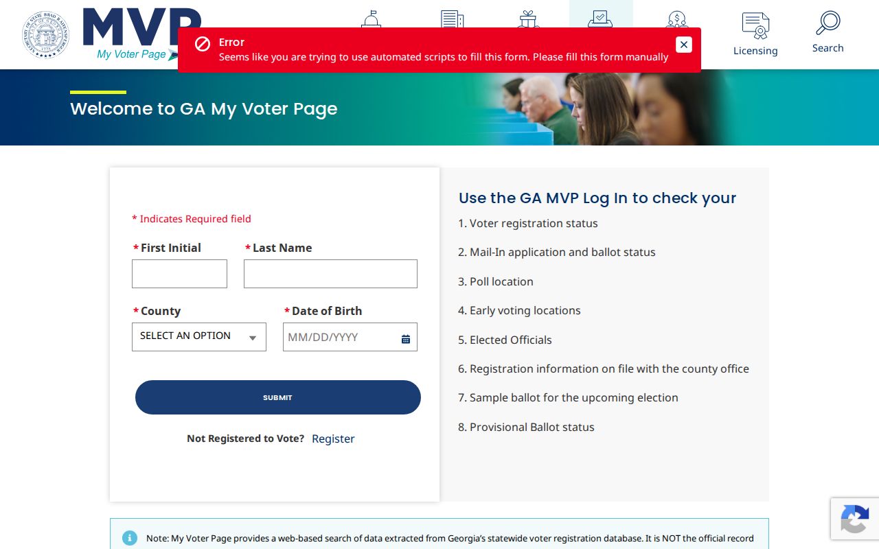
The screen reinforces that a date of birth is input for authentication, not public block data.
A different channel exists for official list products. The Georgia voter-file order page describes county, municipal, district, precinct, and statewide products.
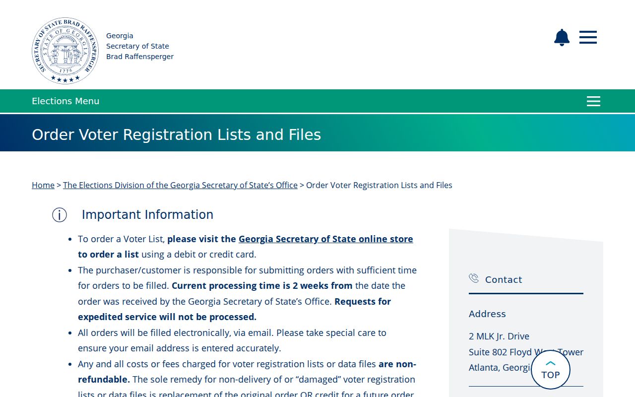
A lawful file can include parsed residence address, ZIP, precinct, districts, status, and limited voter fields. It excludes full birth date, Social Security number, driver-license number, phone, and ballot choices. Nonregistration never proves nonresidence.
Statesboro Community Contacts, Not Rosters
No authoritative citywide roster of neighborhood associations was found. Official planning records do name Fletcher Drive Neighborhood Association and Woodlawn Neighborhood Association as participants. Redevelopment material also names Johnson Street Community, MLK Community, Whitesville Community, and Mulberry Street or Black Bottom Community. These names establish local civic geography, not membership or a household directory.
| Local group or area | What the record supports | What it does not prove |
|---|---|---|
| Fletcher Drive Neighborhood Association | Named participant in planning records | Current resident membership |
| Woodlawn Neighborhood Association | Named participant in planning records | A private resident roster |
| Johnson Street and MLK communities | Named community areas | Exact household boundaries |
| Whitesville and Black Bottom | Named historic or civic geography | Present-day affiliation |
| Keep Statesboro-Bulloch Beautiful | Public contact for a civic program | Proof of residence |
Public boards and commissions may list appointed members, and organizations may publish officers. Use those names only as public civic contacts. Private HOA lists, congregation lists, and member rosters remain private unless an organization chooses to publish them.
Historic Statesboro Neighbors by Address
The green Street and Avenue Guide in the digitized Polk directories gives a true historic block view. Choose 1959, 1962, or 1964, find the street alphabetically, then read numbered addresses in order. Record a household or business, phone, owner or tenant mark, and crossing streets. Compare the same segment in all three volumes.
Older Statesboro blocks can be paired with Sanborn sheets from 1908, 1913, 1922, 1930, and 1946. The South Main historic area, with its 1910s and 1920s grid, and Savannah Avenue’s early suburban forms are strong fits for this method. Parcel continuity may survive even when a structure, business name, or street label changes.
Willow Hill’s project also preserves a community trail that broad directories can miss. A 2024 account of the Willow Hill archive reported more than 20,000 funeral programs and about 6,000 online.
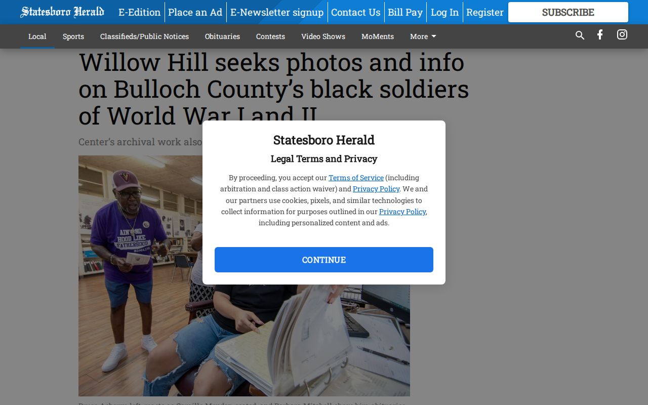
Those community records can reconnect names and kin networks that a modern parcel view cannot show.
Official Rolls Beat Compiled Tools
Official sources are narrower but easier to interpret. The assessor identifies the record owner. GIS identifies the parcel. A plat explains lot geometry. A lawful voter file identifies only registered voters included under its terms. Commercial neighbor tools combine public and private data, may merge same-name people, lag behind moves, and charge for incomplete results.
| Approach | Strength | Main limit |
|---|---|---|
| Official parcel and land rolls | Named custodian and stable parcel keys | Owners are not all occupants |
| Official voter product | Defined fields and geography | Not a full household roll |
| Commercial compiled category | May combine many clues | Unknown freshness and frequent identity errors |
Keep a source URL and retrieval date for each fact. Correct an error with the agency that owns the source record, rather than treating a downstream compilation as authoritative.
Protected Statesboro Neighbor Addresses
VoteSafe shields qualifying registered voters who have protective or restraining orders or live in a family-violence shelter. A move to another county requires a new application. The official VoteSafe page explains that protected pathway.
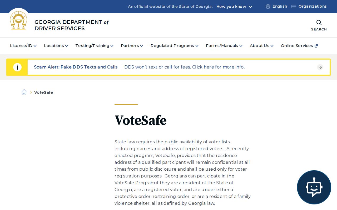
The program is a firm boundary. Never try to reconstruct a protected address by joining partial records.
Georgia law also redacts sensitive fields and some qualifying home addresses. Motor-vehicle details remain restricted. Birth, adoption, juvenile, sealed, utility, and delivery records do not become block directories. The absence of a name can reflect law, source scope, or a recent move.
Safety Records Are Not Rosters
A police report is tied to an incident, not proof of who normally lives on a block. Statesboro Police offers report access through its Police-to-Citizen service.
Use an incident number, date, location, and named parties when seeking a public report, and respect redactions for victims or active cases.
The Bulloch County Sheriff is the county channel for sheriff and jail information.
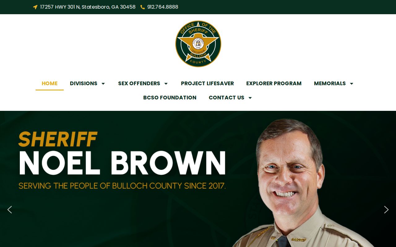
Arrest, call, or report data must never be treated as a permanent list of nearby residents or proof of guilt.
Respect Statesboro Neighbor Privacy
Block research is useful for parcel questions, local history, reconnecting, and civic work. It should not become surveillance. Define a narrow scope, collect only what the task needs, and keep protected or uncertain facts out of public notes. Never infer a family tie from one address or surname.
Georgia stalking law bars conduct that follows, intimidates, or harasses. Public access does not grant permission to contact someone who has asked to be left alone. If a property or identity fact matters, verify it with the custodian.
Lawful use. Use Statesboro neighbors records for legitimate personal and civic purposes. Never watch, intimidate, expose, or harass any person.